Experience the splendor of Mt. Mokotoyama, offering a sweeping panorama of Lake Kussharo, through a beginner-friendly hiking trail boasting breathtaking scenery.
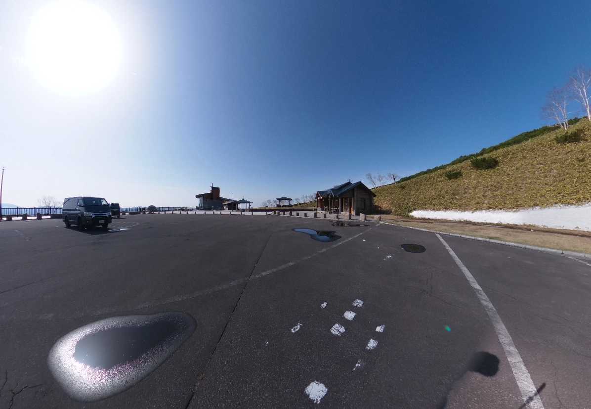
Starting your journey from Kawayu, follow Route 102 towards Abashiri until you arrive at the “Mokotoyama Observatory Parking Area,” nestled at an elevation of 430 meters.
Here, not only can you marvel at the expansive views of the lake, but you can also take in the majestic sight of Mt. Iouzan and the charming town of Kawayu Onsen. Moving forward, you’ll encounter the junction with Koshimizu Pass, leading towards Koshimizu Town.
Next, ascend to Mokoto Pass (620 meters), serving as a pivotal point where the trail branches off to the observation deck, known as Highland Koshimizu 725, marking the beginning of your ascent up Mt. Mokotoyama.
Highland Koshimizu 725 is perched at an elevation of 725 meters on Mt. Mokotoyama.
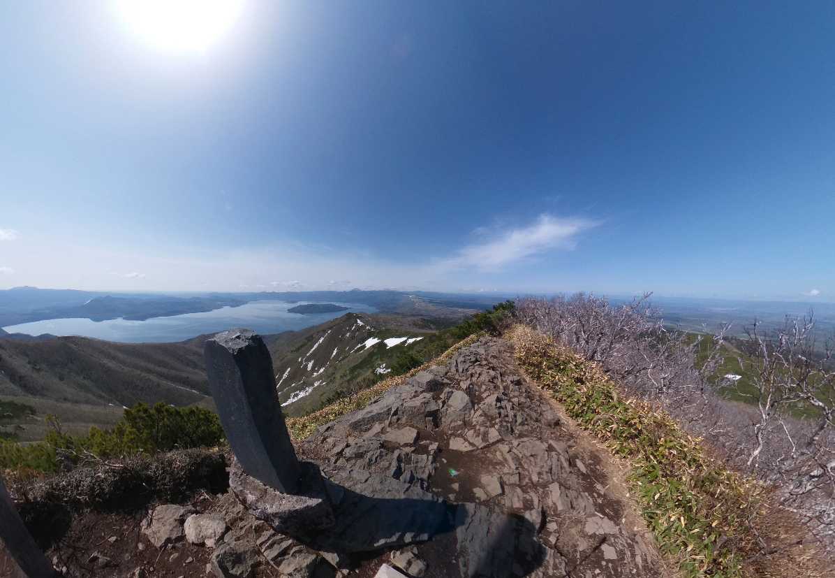
From this vantage point, immerse yourself in the quintessential Hokkaido landscape, offering unobstructed views spanning over 180 degrees, stretching from Mt. O-Akan-dake to the azure expanse of the Sea of Okhotsk and the majestic Shiretoko mountain range.
As you absorb the panoramic beauty before you, you’ll undoubtedly feel the essence of Hokkaido encapsulated in this stunning vista.
About Mt.Mokotoyama
Mount Mokotoyama, towering at an impressive elevation of 1,000 meters, proudly stands as the highest peak in the outer rim of the Kussharo Caldera, earning its place as one of “Hokkaido Nature 100.” Nestled within the subalpine zone, this mountain boasts a rich ecosystem characterized by dense forests of dwarf stone pines (Dakekanba) that extend all the way to its summit.
Upon reaching the summit, hikers encounter a diverse array of vegetation types, including communities of Chishima gikyo, Chishima senburi, Ligularia daisetsuzana – Sanguisorba rupicola, and mountain pine – Vaccinium uliginosum, adding to the scenic allure of the landscape.
With three main routes to choose from, adventurers can tailor their hiking experience on this mountain to suit their preferences and skill levels.
Here’s your guide to hiking Mount Mokotoyama:
For those ascending from “Highland Koshimizu 725,” the representative route begins right next to the parking lot, marked by a trailhead.
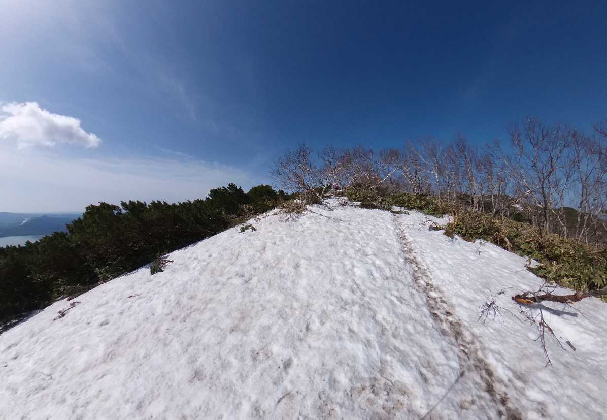
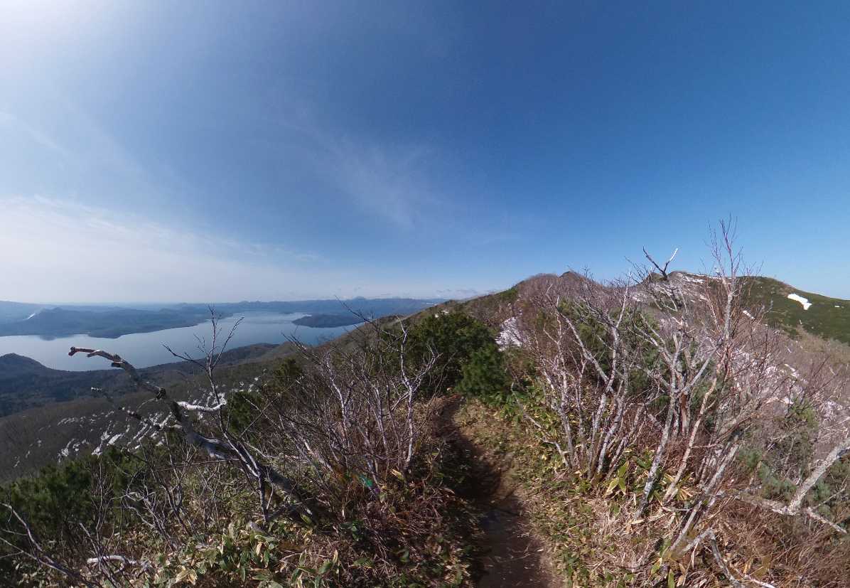
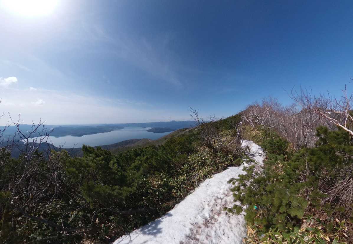
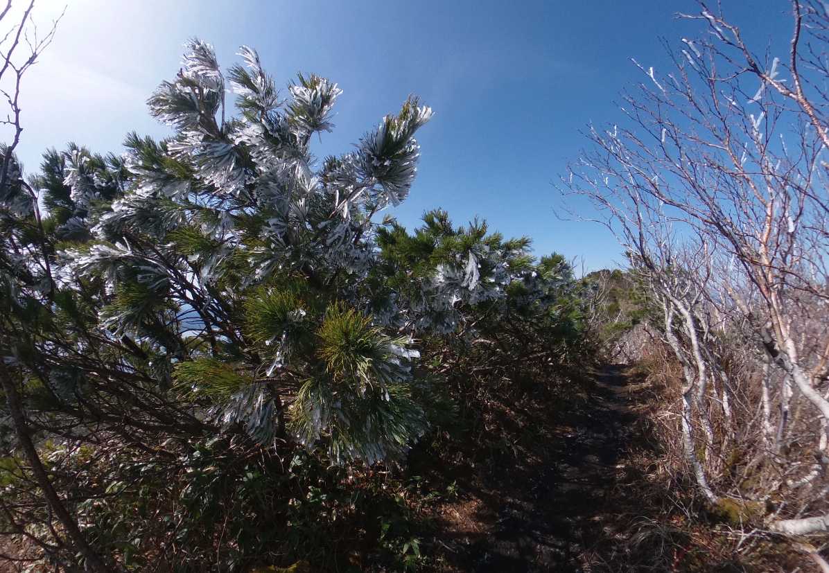
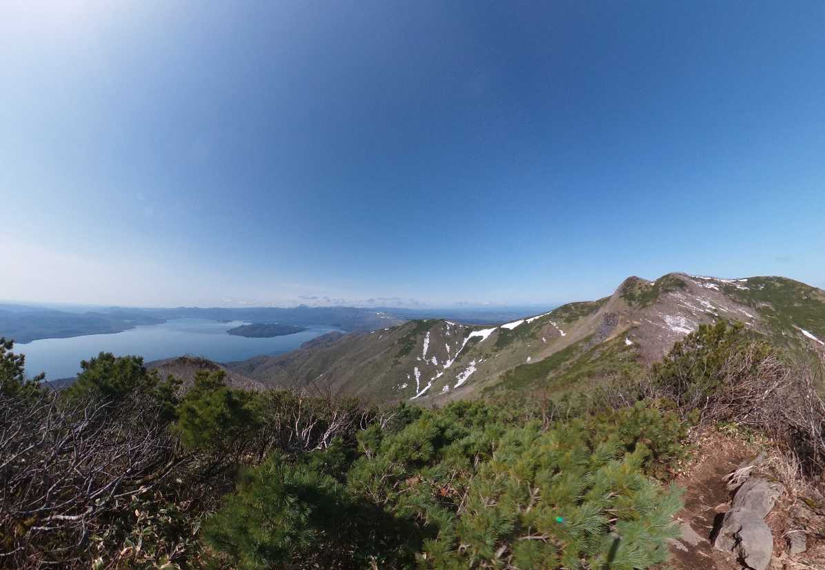
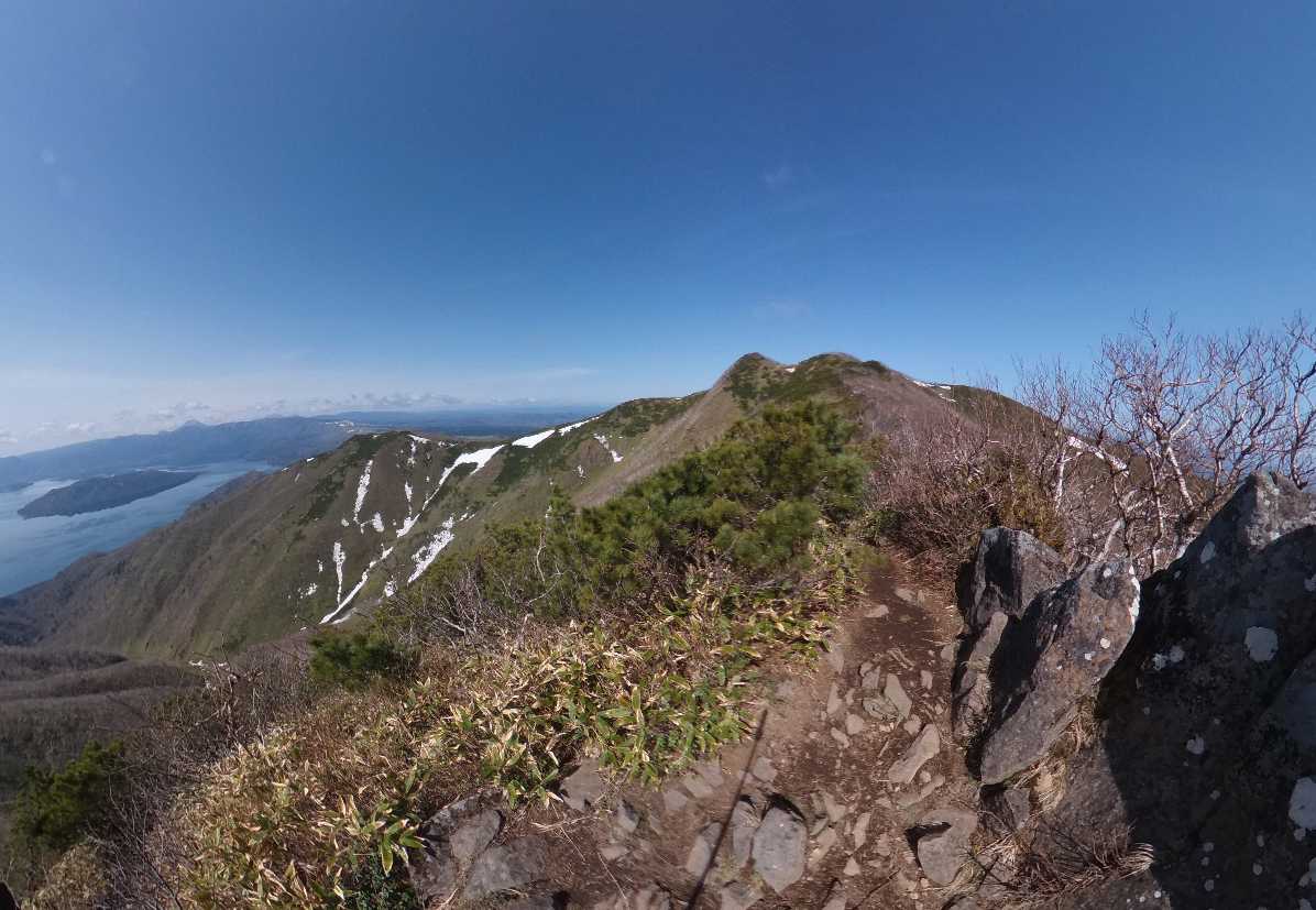
Initially, the trail winds through a captivating tunnel of mountain pines, immersing hikers in the serene ambiance of Highland Koshimizu 725. As you progress, the scenery gradually unfolds, revealing breathtaking views of Lake Kussharo to your left as you traverse along the ridge.
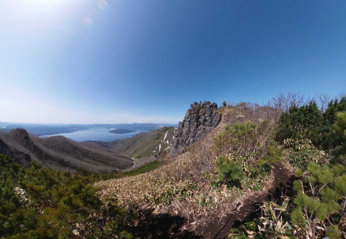
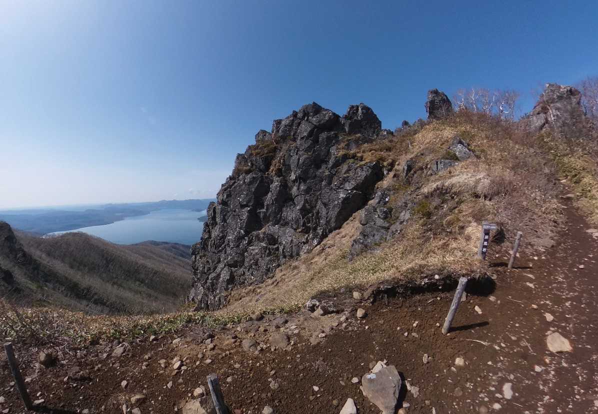
Upon reaching the peak at 940 meters, you’ll be greeted by the iconic “Byobu-iwa” – a rock formation resembling the back of Godzilla. During early summer, the area surrounding Byobu-iwa comes alive with colonies of Ezonohakusan Ichige, adorning both the rock and its face. Exercise caution near the rocky terrain surrounding Byobu-iwa, as it can become slippery in inclement weather.
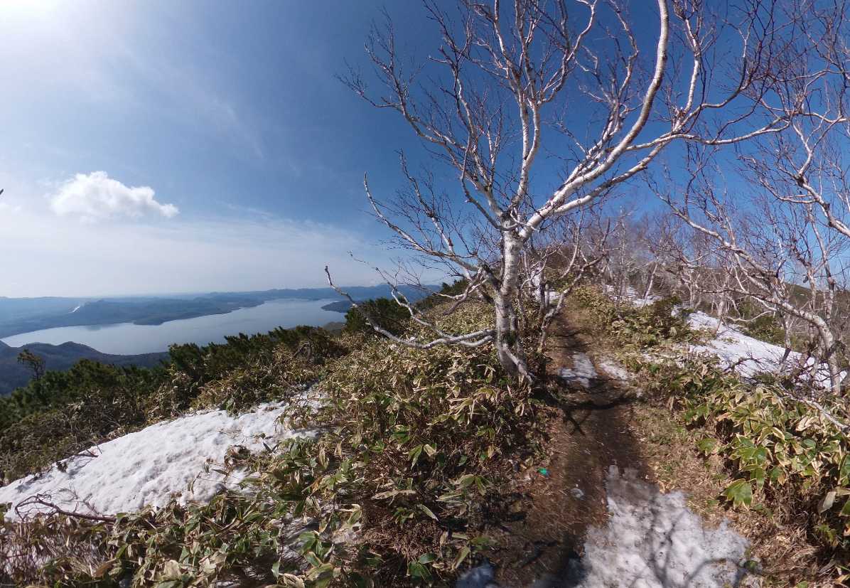
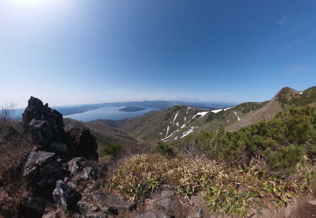
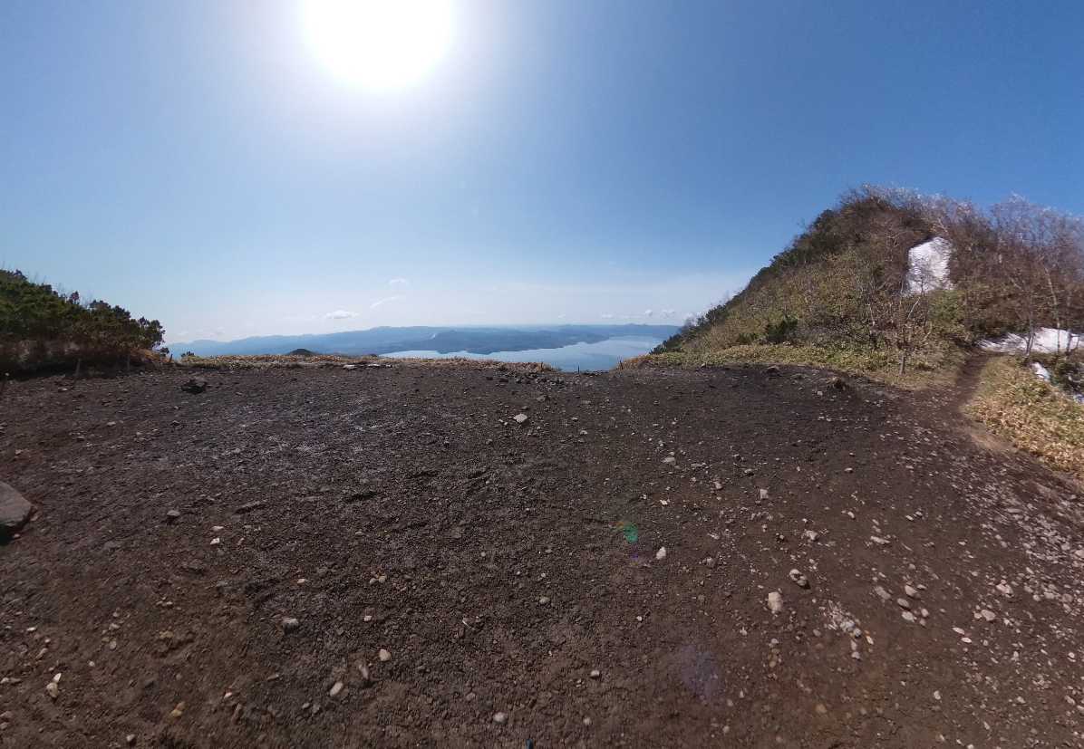
Approximately 0.8 kilometers from Byobu-iwa, you’ll encounter a spacious clearing ideal for resting and enjoying a leisurely lunch. At this point, you’re nearing the summit. Ascend the gently sloping trail, and you’ll be rewarded with a stunning vista of Lake Kussharo sprawling out before you.
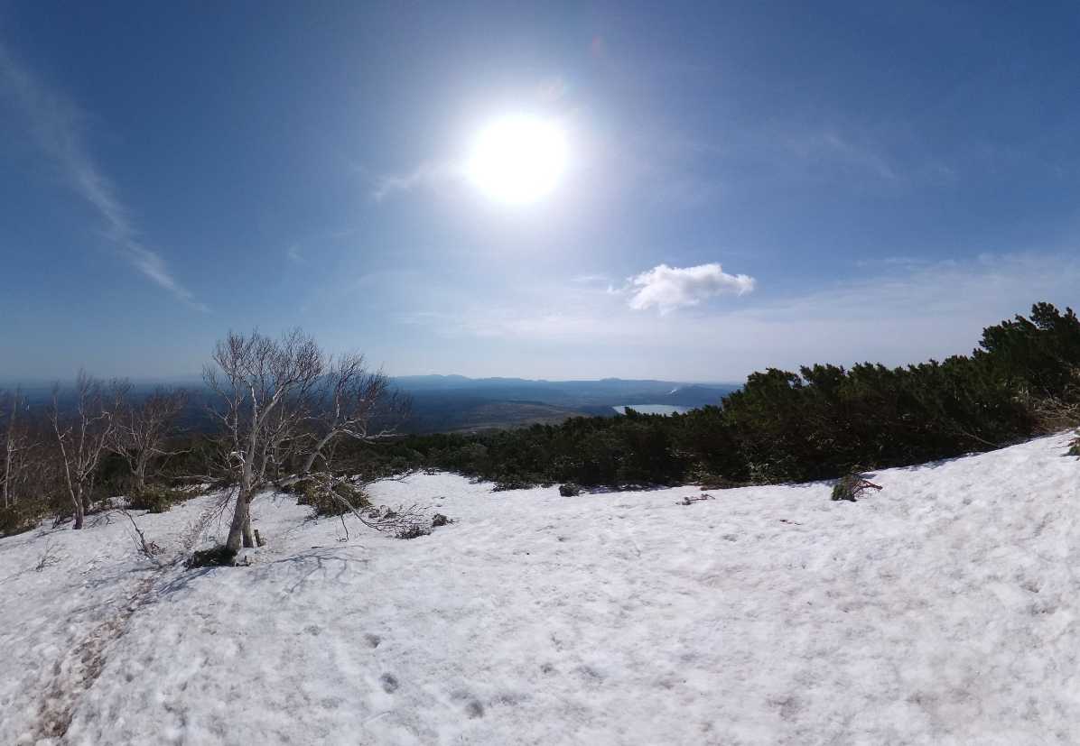
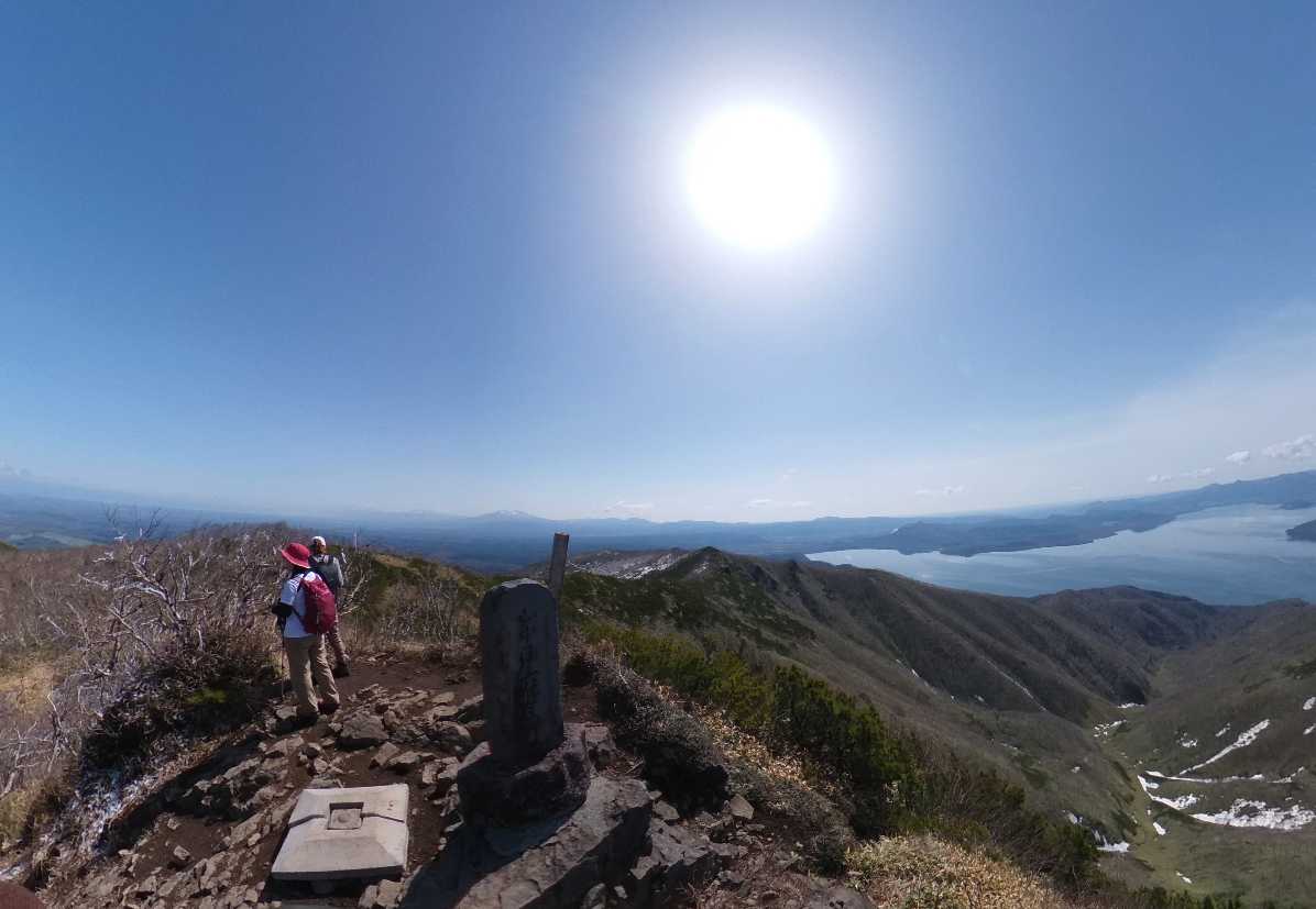
In addition to the panoramic views of Lake Kussharo Caldera, hikers can marvel at the expansive and picturesque landscape, encompassing Mount O-Akan, the Daisetsuzan mountain range, the Shiretoko mountain range, and the distant Sea of Okhotsk. While the approach is relatively easy and can be completed in about an hour, it promises a highly gratifying hiking experience.
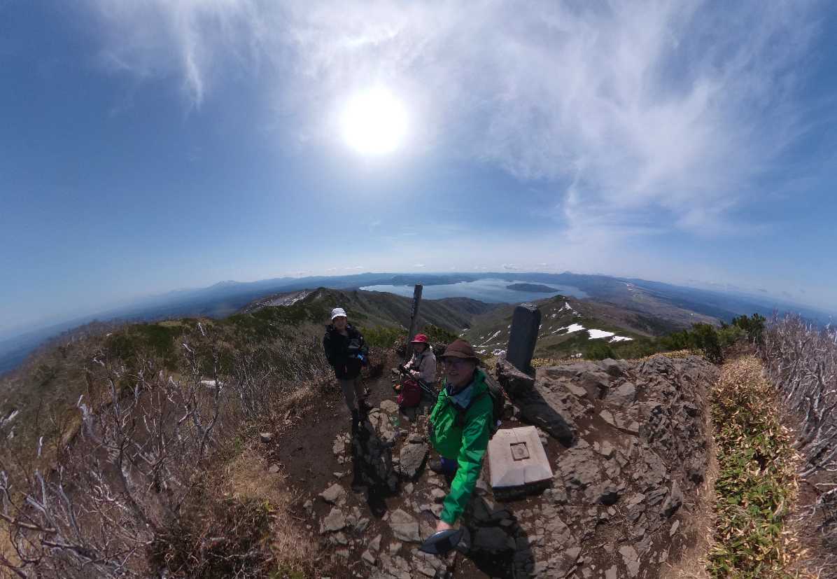
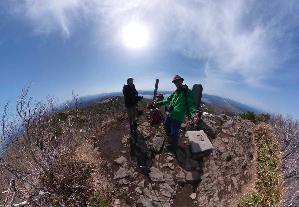
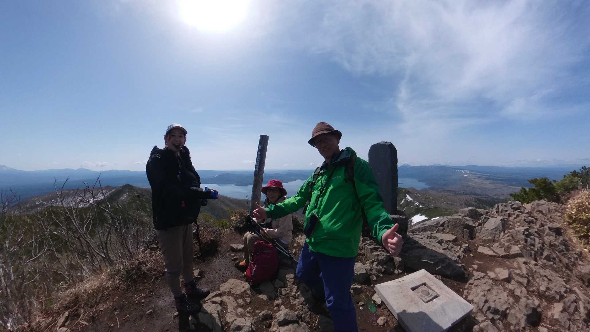
We attempted to hike on May 7th, 2023. The weather was exceptionally sunny!
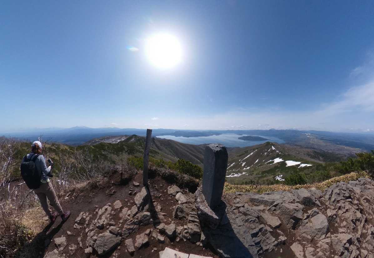
One of the remarkable aspects of Mt. Mokotoyama is the continuous panoramic view of Lake Kussharo throughout the hike, offering an unobstructed vista.
Moreover, the trail features gentle slopes, making it accessible for beginners and elderly hikers alike. On May 7, 2023, despite the sunny weather, a refreshing breeze greeted us as we ascended towards the summit.
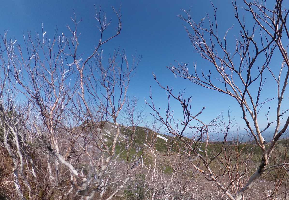
The trees’ branches were adorned with frost, hinting at sub-freezing temperatures lingering until the sun’s ascent.
As we trekked along, a rustling sound caught our attention, initially thought to be an animal. To our relief, it was merely the melting frost cascading down. We were grateful it wasn’t the sound of a bear nearby.
Skyline Hiking Course Data
- grade: 2
- one way: 2.0km
- elevation difference from parking: 275m
- up: 60 minutes
- down: 45 minutes
about Grade
- grade1
1hour hiking, beginners with hiking shoes, wears and cap.
Backpack, trash bag, water bottle, map, rain gear - grade2
a half day hiking, someone with a little experience with hiking shoes, wears and cap.
Backpack, trash bag, water bottle, map, rain gear
Trail snacks, cold weather gear - grade3
For those who want to enjoy a serious hike in a day
For those who want to enjoy a long hike in a day
For those with experience in hiking or long hikes
Backpack, trash bag, water bottle, map, rain gear
Trail snacks, cold weather gear, compass, headlamp, portable toilet
Activities in nature are based on the principles of self-management and personal responsibility.
Please understand fully that there are unexpected dangers and risks of accidents in nature, and ensure you are well-prepared and manage your physical condition before utilizing the trails with the awareness that you are responsible for your own safety in case anything happens.
In bad weather, the risk of rockfalls, falling trees, falling branches, and landslides increases, so carefully consider your actions, including the possibility of canceling your hike.
- Choose a trail that matches your physical condition, health, and equipment level.
- Mountain weather can change rapidly, so gather sufficient information in advance. Also, don’t forget to bring rain gear and other necessary equipment.
- Even mountains below 1,000 meters in Hokkaido can experience sudden drops in temperature, so bring warm clothing even in summer.
- There are no water sources along the trails, so be sure to bring water before starting your hike.
- There are no toilets on the trails. Use the toilet before starting your hike, and bring a portable toilet if you have concerns about a long hike. Note that there are no designated areas for portable toilets.
- Always fill out the hiker registration form at the trailhead.
- Stay on the designated trails.
- Take all your garbage with you.
- Do not approach or feed wild animals.
- If driving on forest roads, a high-clearance 4WD vehicle is recommended. Note that forest roads may be closed depending on the season and road conditions.
About dangerous animals, etc.
- Bears: Carry bear bells and bear spray. Avoid encounters with bears. Bears tend to avoid humans, so make noise to announce your presence.
- Ticks and Horseflies: Wear long sleeves and long pants to avoid exposing skin. Don’t forget insect repellent.
- Hornets: Avoid wearing black clothing. If threatened, cover your head and neck with a white towel, crouch down, and slowly back away from the area.
- Note: To prevent Echinococcosis infection from fox feces, do not drink untreated river water.